Drone survey of the shore of Lake Constance
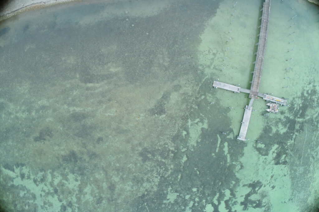
Drone survey and creation of georeferenced orthomosaics of the Lake Constance shoreline for studies on sediment deposition.
Aerial imagery for construction monitoring of the State Garden Show in Rottweil (Germany)
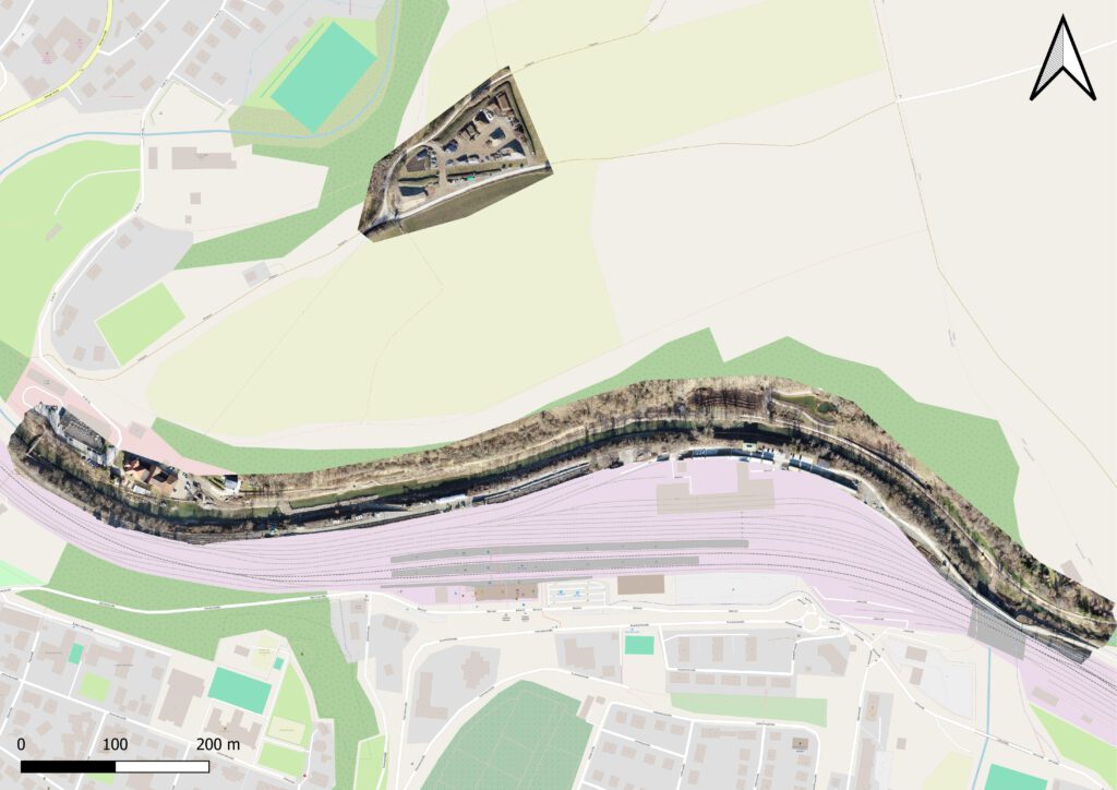
Drone flights and creation of georeferenced orthomosaics for construction monitoring of the State Garden Show in Rottweil.
Installation of a I AM HYDROCam in open water in Bad Vilbel (Germany)
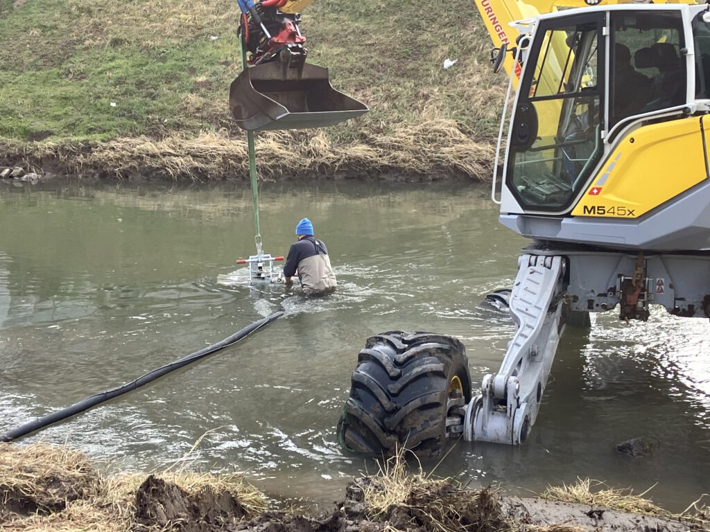
Installation of a I AM HYDROCam in open water for monitoring of fish in a river and for broadcasting an underwater livestream for the public
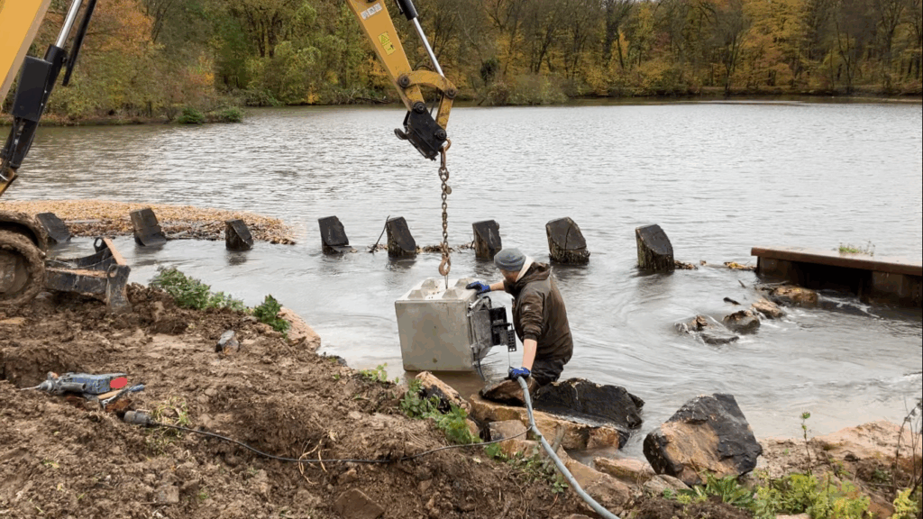
Installation of a I AM HYDROCam at a weir in Sossenheim (Germany)
Im Auftrag des Regierungspäsidiums Freiburg sammeln wir an ausgewählten Pegeln Abflussdaten zu Mittelwasser-, Niedrigwasser- und Hochwasserereignissen. Dazu verwenden wir je nach Bedingungen vor Ort den FlowTracker oder ein ADCP-Boot.
Aerial images for the assessment of the ecological status of rivers
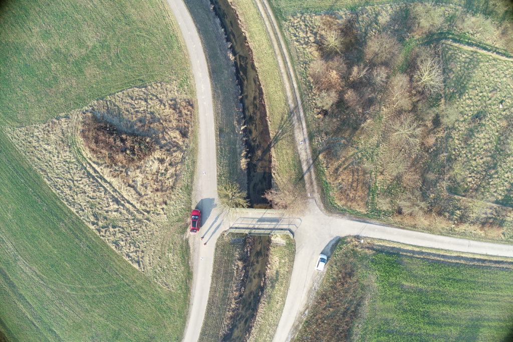
On behalf of the Regional Council of Tübingen, we are currently conducting drone flights to generate aerial images for the State Study on Aquatic Ecology.