Drone survey of the shore of Lake Constance
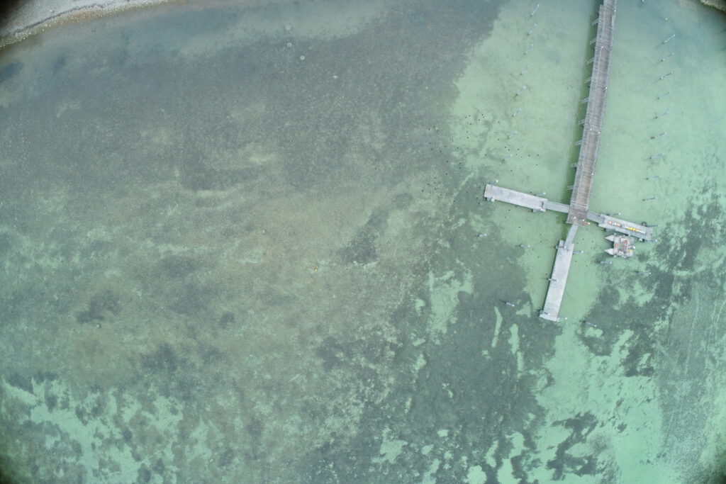
Drone survey and creation of georeferenced orthomosaics of the Lake Constance shoreline for studies on sediment deposition.
Survey of the river Stillach (Austria)
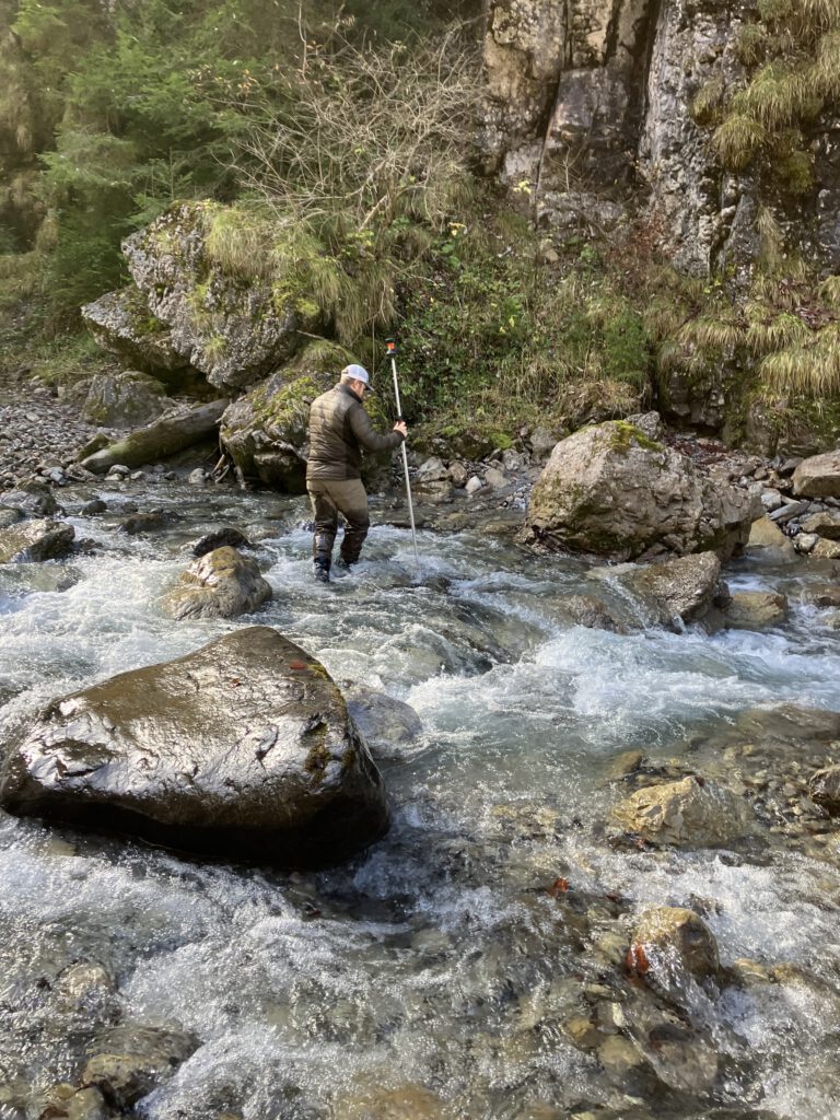
Survey of the Stillach River (Austria) using a drone, complemented by a terrestrial survey.
Survey of the River Isar (Austria)
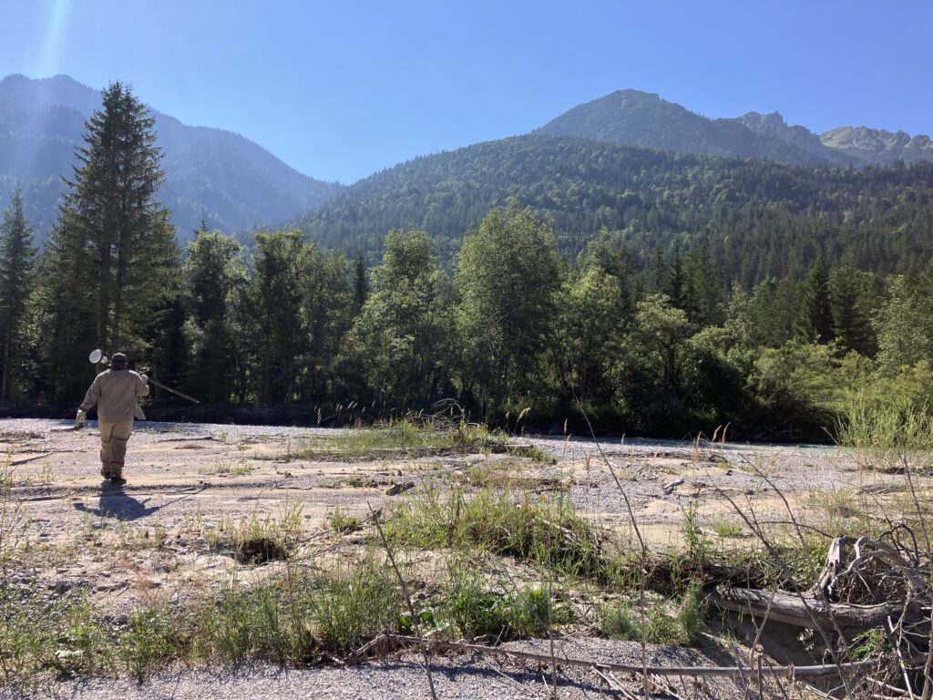
Survey of the Isar River for the modeling of various flow scenarios
Aerial imagery for construction monitoring of the State Garden Show in Rottweil (Germany)
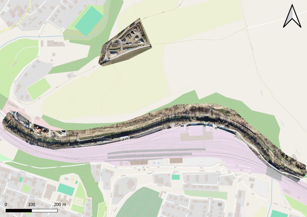
Drone flights and creation of georeferenced orthomosaics for construction monitoring of the State Garden Show in Rottweil.
Aerial images for the assessment of the ecological status of rivers
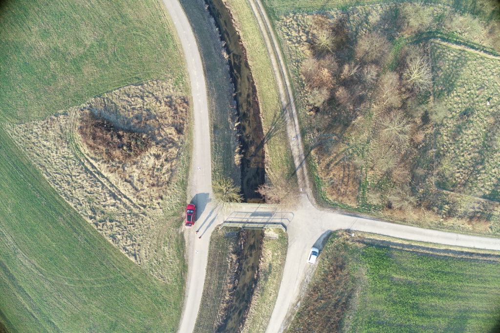
On behalf of the Regional Council of Tübingen, we are currently conducting drone flights to generate aerial images for the State Study on Aquatic Ecology.