Bathymetric survey of the Heidesee

Bathymetric survey of Heidesee near Karlsruhe
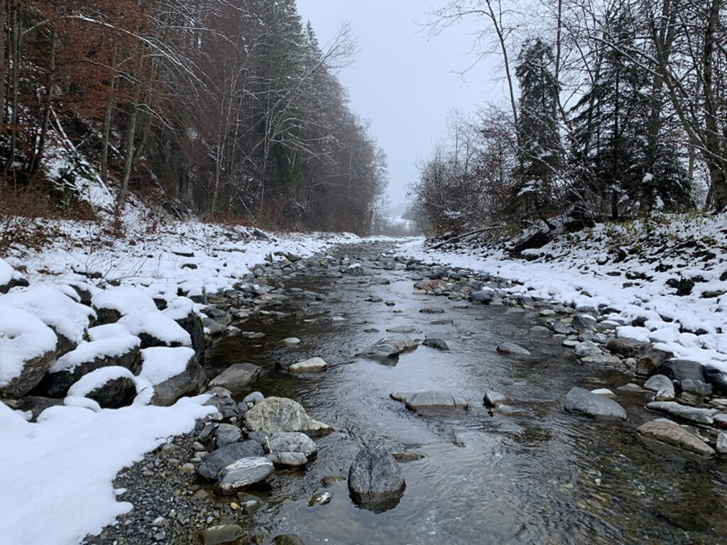
Survey of the Breg in Bräunlingen (Germany)
Survey of the Breg River in Bräunlingen as the basis for a report on minimum water conditions and passability in a diversion section on the Breg.
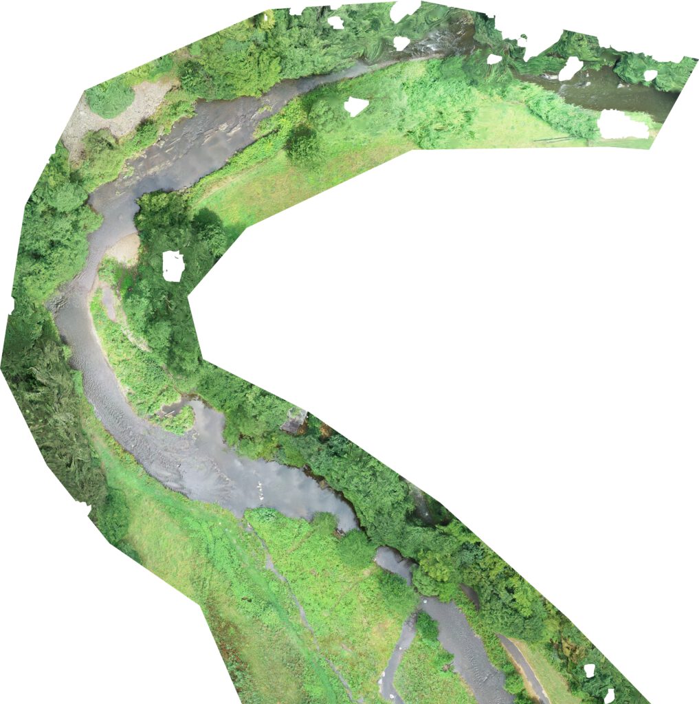
Survey of the Engelberger Aa
Survey of 4 kilometers of the Engelberger Aa as a data foundation for a habitat model for lake trout.
Lecture at the University of Stuttgart
Guest Lecture: “Drone-based Water Assessment: Introduction, Fundamentals, and Examples” in the field of Measurements, Monitoring, and Modeling (MMM).
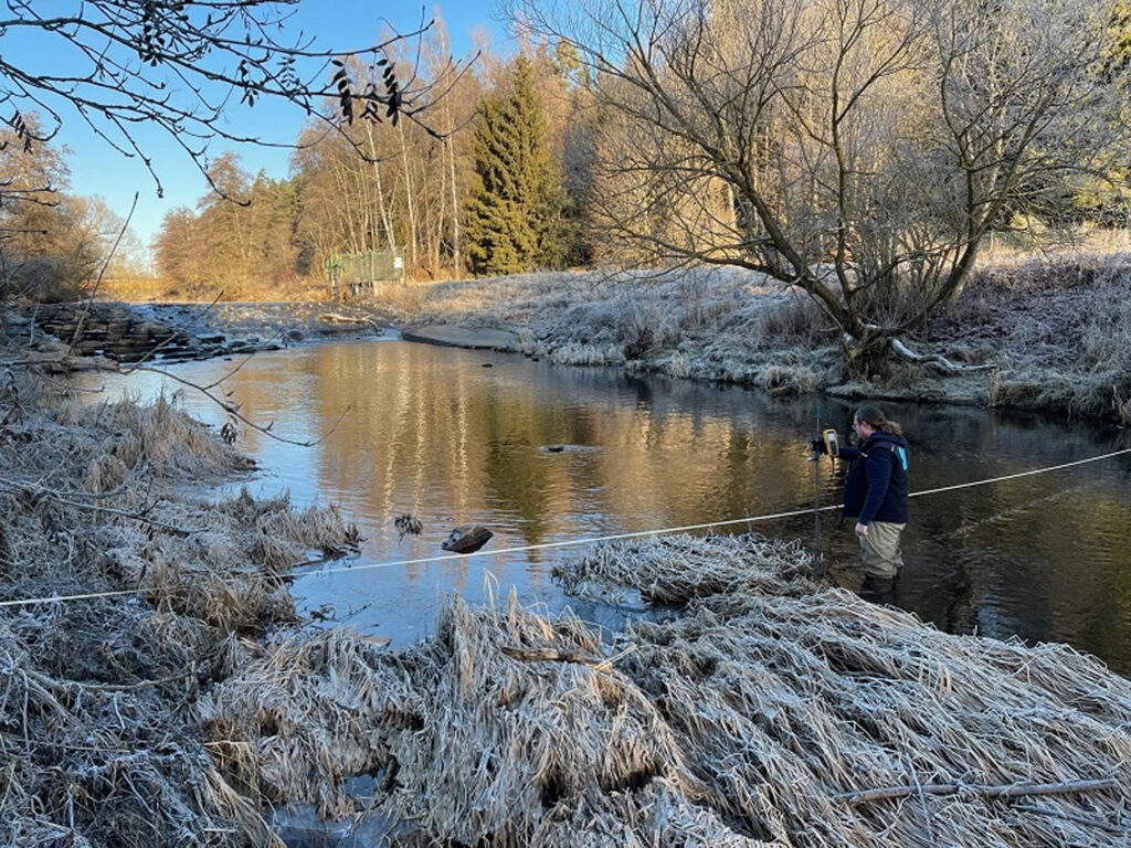
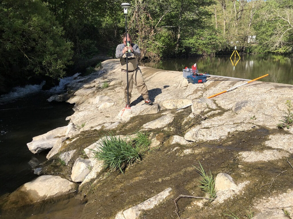
Data collection at the Nister
Data collection from two sections on the Nister as a basis for hydraulic and habitat modeling.
Temporary installation of pressure gauges at the Argen
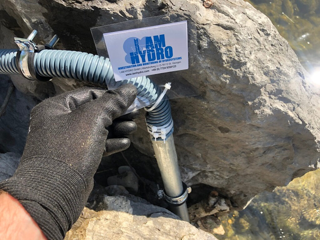
Examination of minimum water conditions due to water extraction using temporary pressure gauge installations along the Argen.
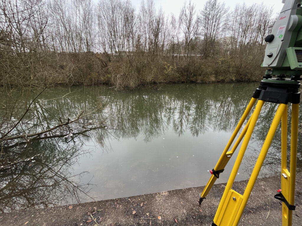
Surveying the Neckar

Survey of 2 kilometers of the Neckar River for a minimum flow investigation
Survey of the Neckar River in Tübingen (Germany)
Surveying areas of the Neckar River in Tübingen as a planning foundation for revitalization measures
Elevation survey of the Basin bottom at the weir in Tübingen (Germany)
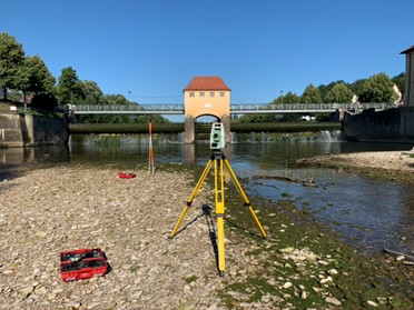
Location-specific elevation survey of the Tos Basin bottom at the weir in Tübingen as a planning foundation for the East Radbrücke (bike bridge)
Topographic Dam Survey at Simmerhammer
Topographic survey of the Simmerhammer and Heinzenberger Mühle weirs in Rhineland-Palatinate