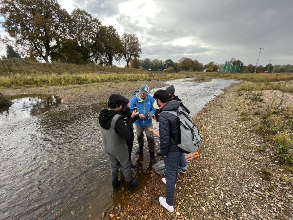
Minimum Flow Assessment in Mavrovo National Park, North Macedonia
In Mavrovo National Park in North Macedonia, data were collected to carry out a minimum flow assessment. For this purpose, six gauging stations were installed to record seasonal flow variations in different river sections. In addition, six model reaches were surveyed in detail, providing the basis for the minimum flow assessment and the hydrological evaluation of the watercourses.
Drone survey of the shore of Lake Constance
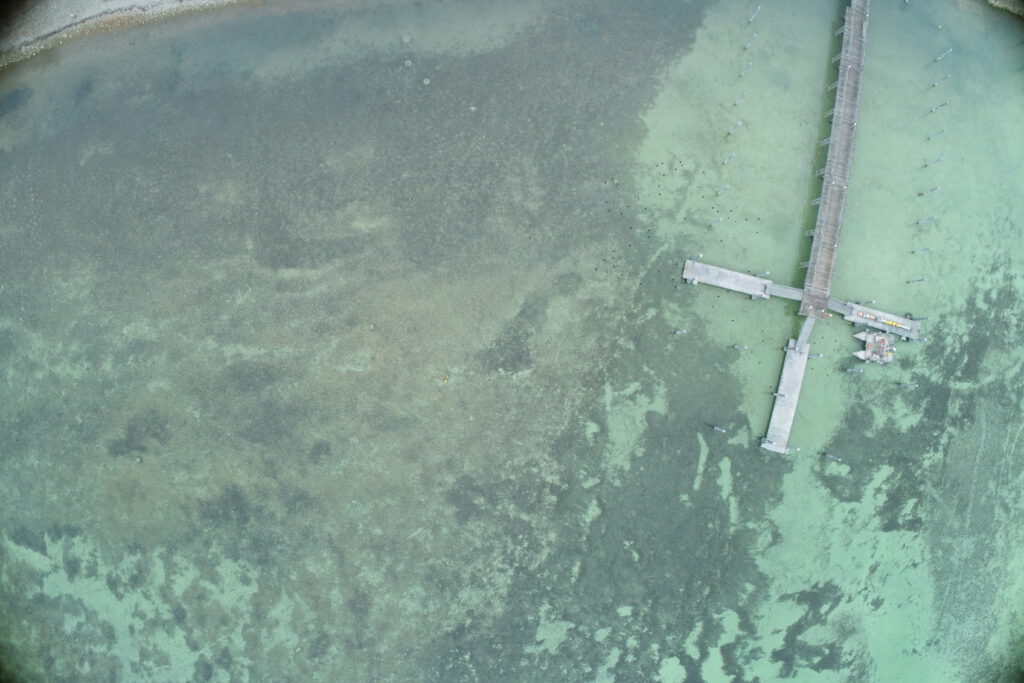
Drone survey and creation of georeferenced orthomosaics of the Lake Constance shoreline for studies on sediment deposition.
Survey of the river Stillach (Austria)
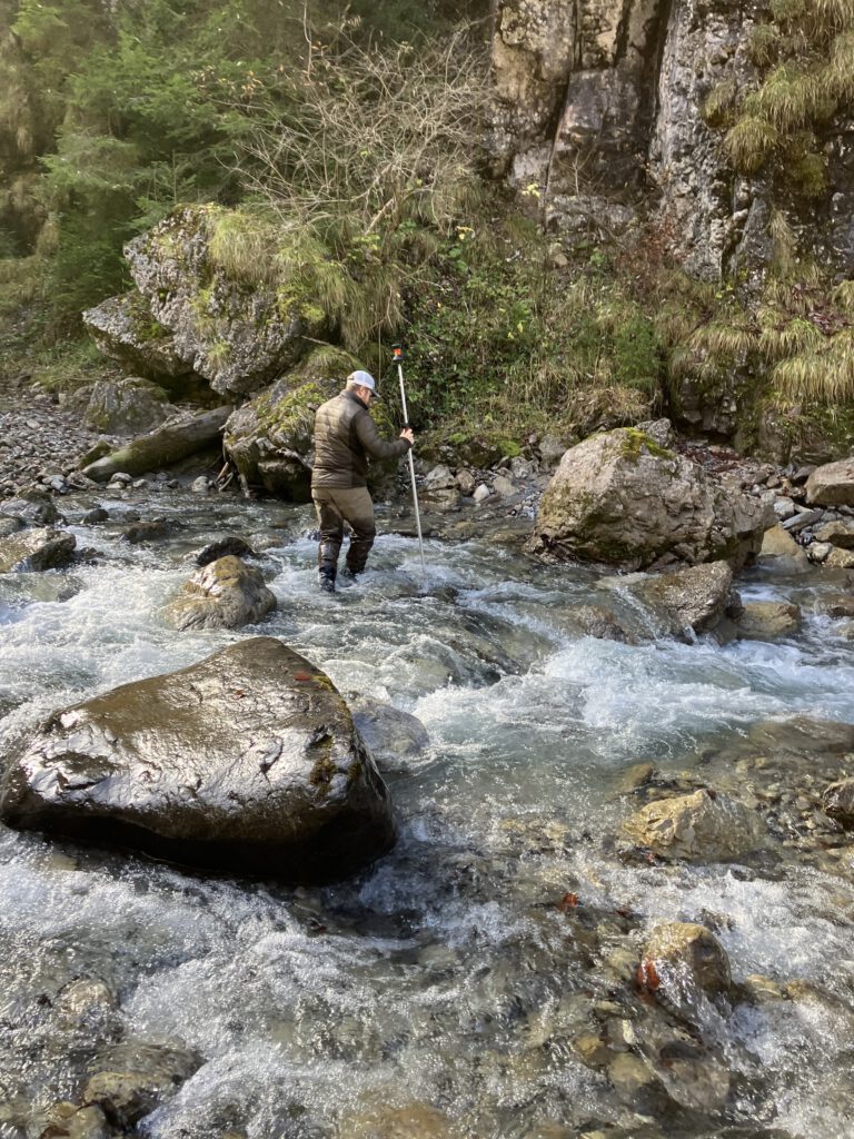
Survey of the Stillach River (Austria) using a drone, complemented by a terrestrial survey.
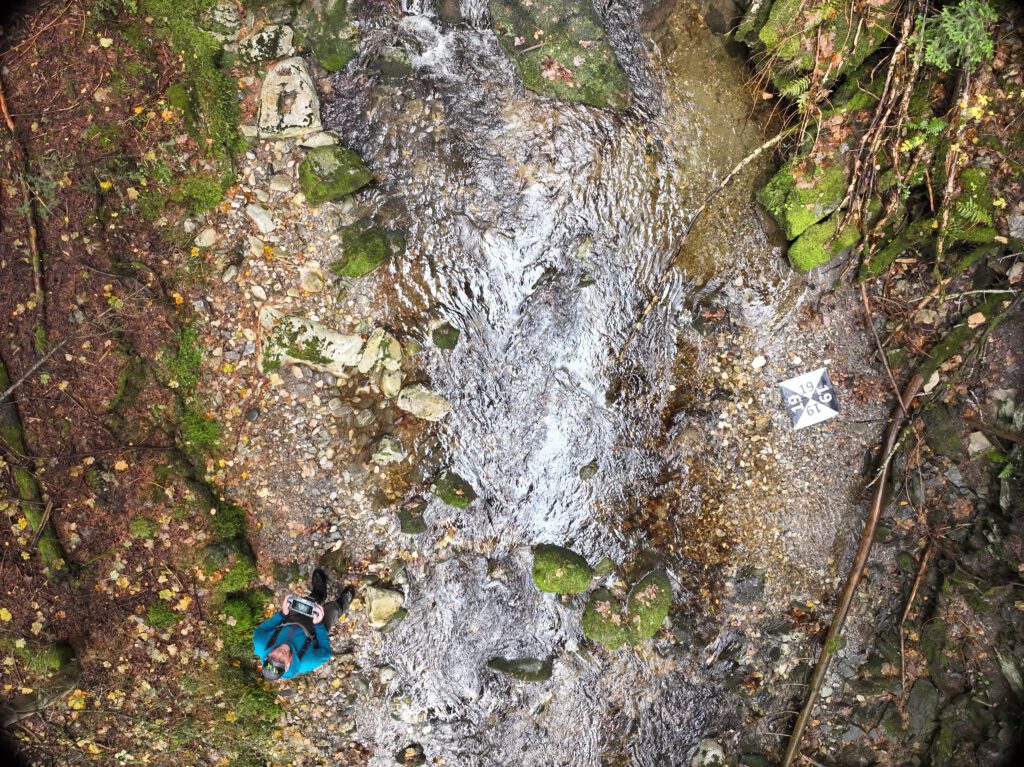
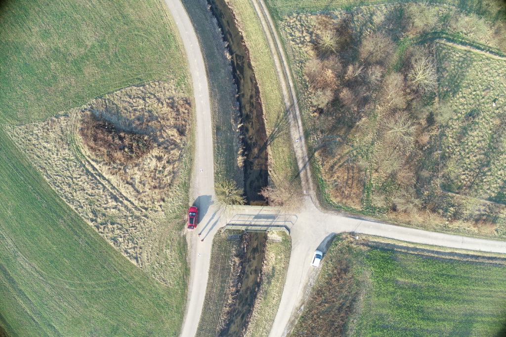
Survey of the River Isar (Austria)
Survey of the Isar River for the modeling of various flow scenarios
Aerial imagery for construction monitoring of the State Garden Show in Rottweil (Germany)
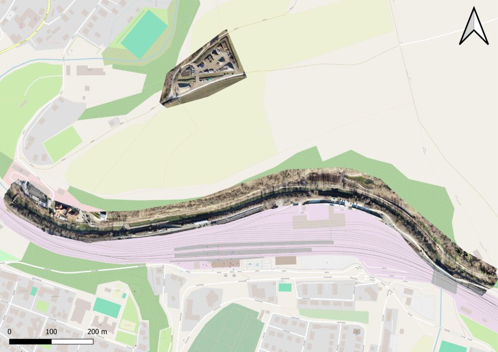
Drone flights and creation of georeferenced orthomosaics for construction monitoring of the State Garden Show in Rottweil.
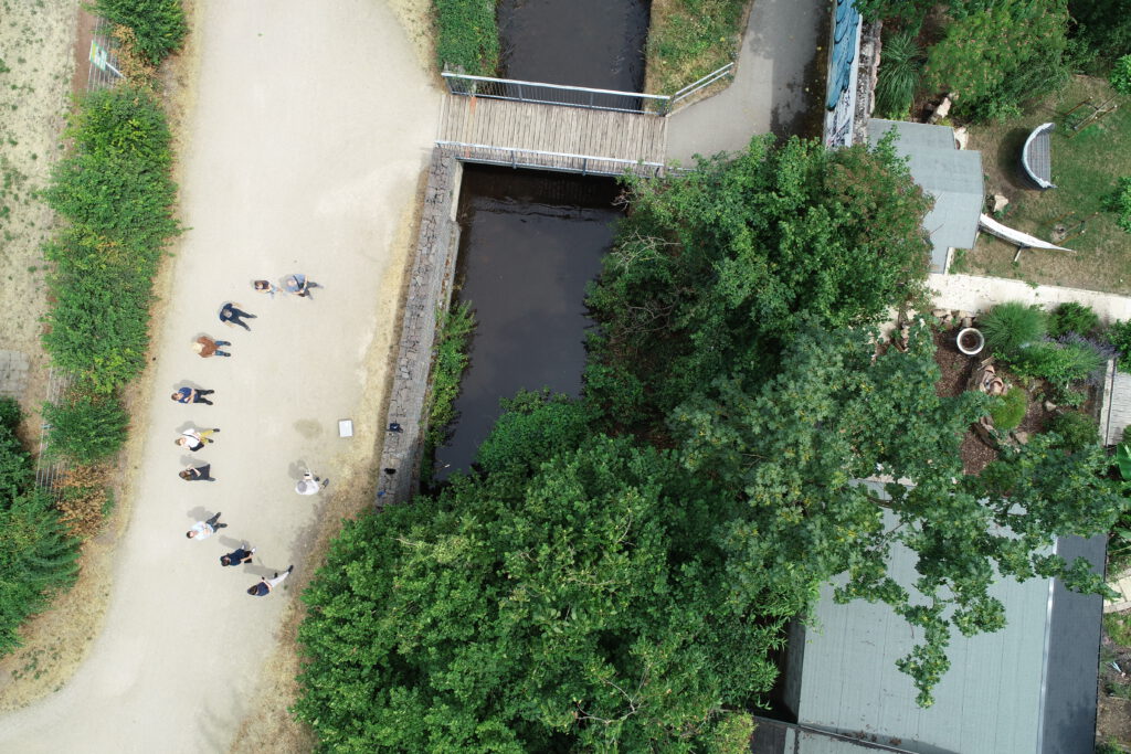
Aerial images for the assessment of the ecological status of rivers
On behalf of the Regional Council of Tübingen, we are currently conducting drone flights to generate aerial images for the State Study on Aquatic Ecology.
UAV training Speyer
Conducting a drone training in Speyer for a governmental agency on the topics of possibilities and limitations of drone surveys for ecological purposes, including a practical exercise
Lecture at the University of Stuttgart
Lecture at the University of Stuttgart: “Limnology and Ecohydraulic: Theory and Application”)
Training of Students and PhD Candidates in UAS-Based Water Remote Sensing in Ethiopia
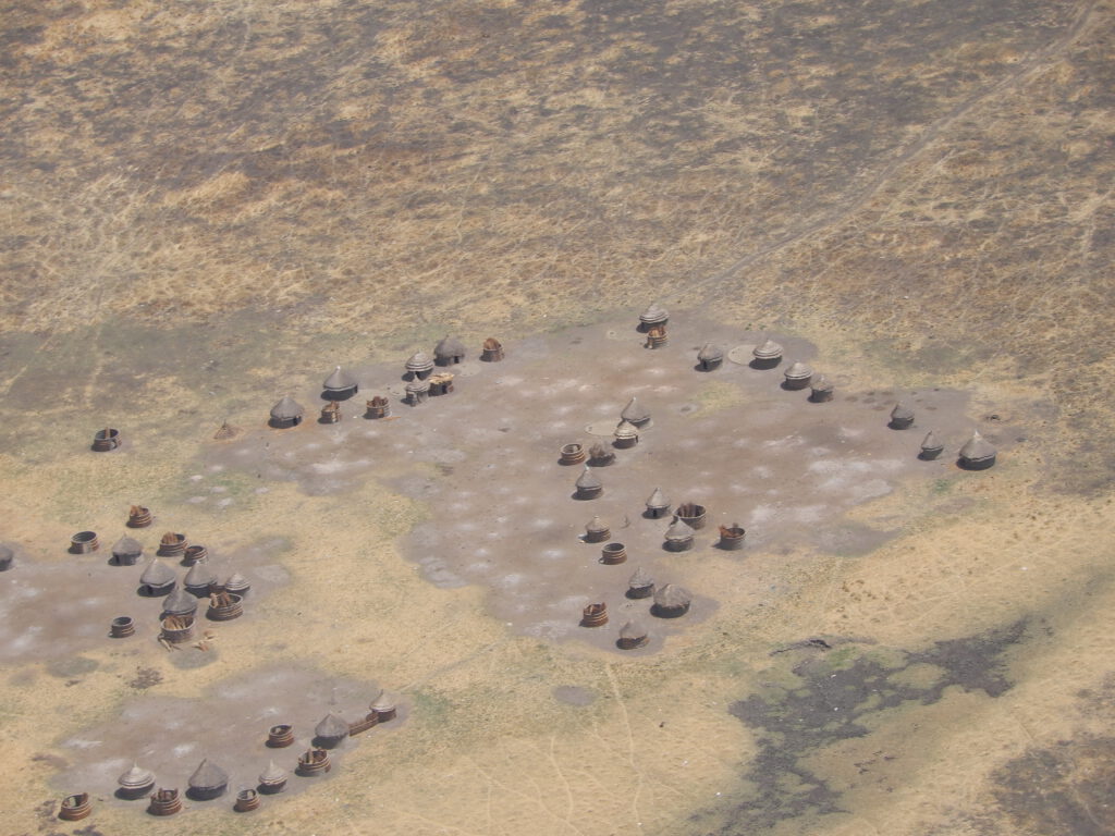
Training of Students and PhD Candidates in UAS-Based Remote Sensing of Water within the Project ‘Sustainable Water Management Under Pressure in Ethiopia’ (SWAMP) as part of the DAAD Practice Partnerships between Universities and Companies in Germany and Developing Countries 2022-2025.
Testing and Training of Surveying Equipment in Bhutan as part of the E-Flow II Project
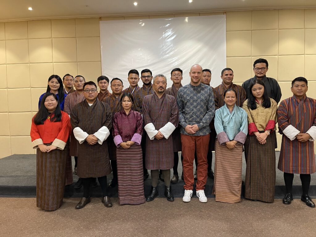
Testing of Existing Measurement Equipment and Hands-On Training for the Department of Water of the Ministry of Energy and Natural Resources in Bhutan.