Surveying the Volme loop
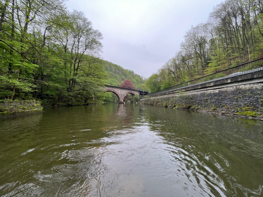
Survey of the Volme loop to provide data for a flood model
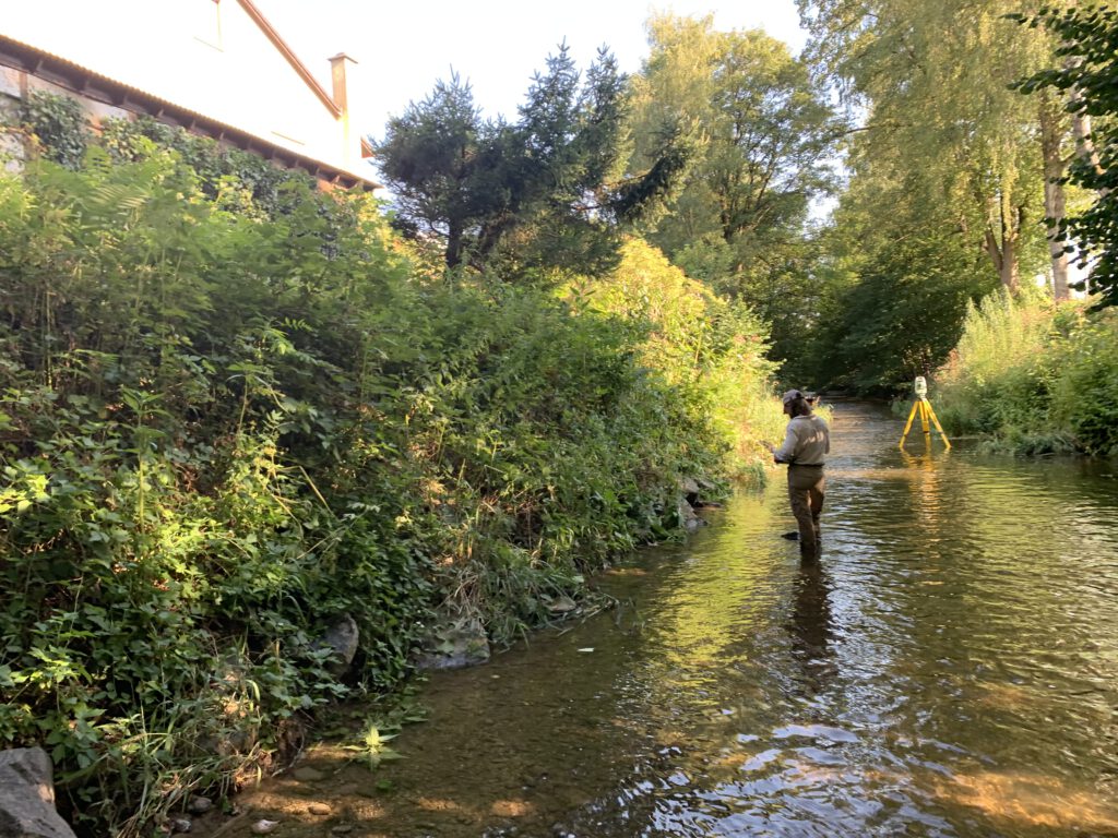
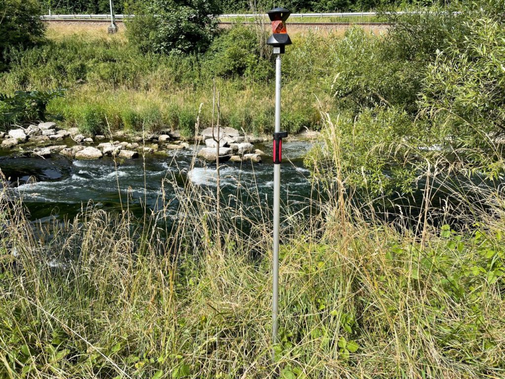
Surveying of the Lindach River near Weilheim an der Teck

Surveying of the Lindach River near Weilheim an der Teck to provide data for a revitalization project.
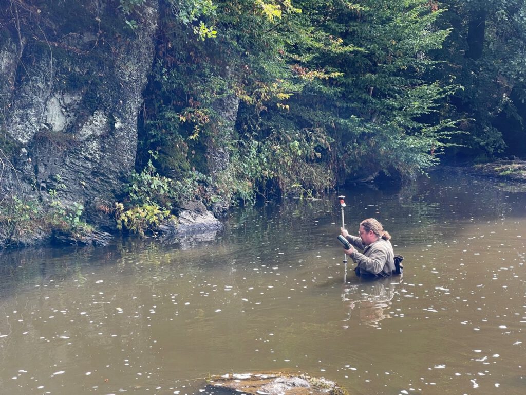
Estimation of the volume of sediment in the Neckar River near Rottweil
Estimation of the volume of sediment in the Neckar River near Rottweil using GPS, tachymeter, and sonar.
Survey of the Mindel River near Mindelheim for a minimum flow investigation
Surveying of the Mindel River near Mindelheim, Bavaria, for a minimum flow investigation
Survey at the Wahnbachtalsperre (reservoir)
Survey of the Wahnbach and Wendbach at the Wahnbachtalsperre (reservoir) as a basis for a flood model.
Surveying and Consulting within the Project: ‘Hydro4U: Hydropower For You – Sustainable Small-Scale Hydropower in Central Asia’

Hydro4U is a project funded under the European Union’s Horizon 2020 research and innovation program aimed at promoting sustainable small-scale hydropower in Central Asia.
Survey of the Neckar near Aistaig
Survey at the Neckar near Aistaig as a data base for a revitalisation project
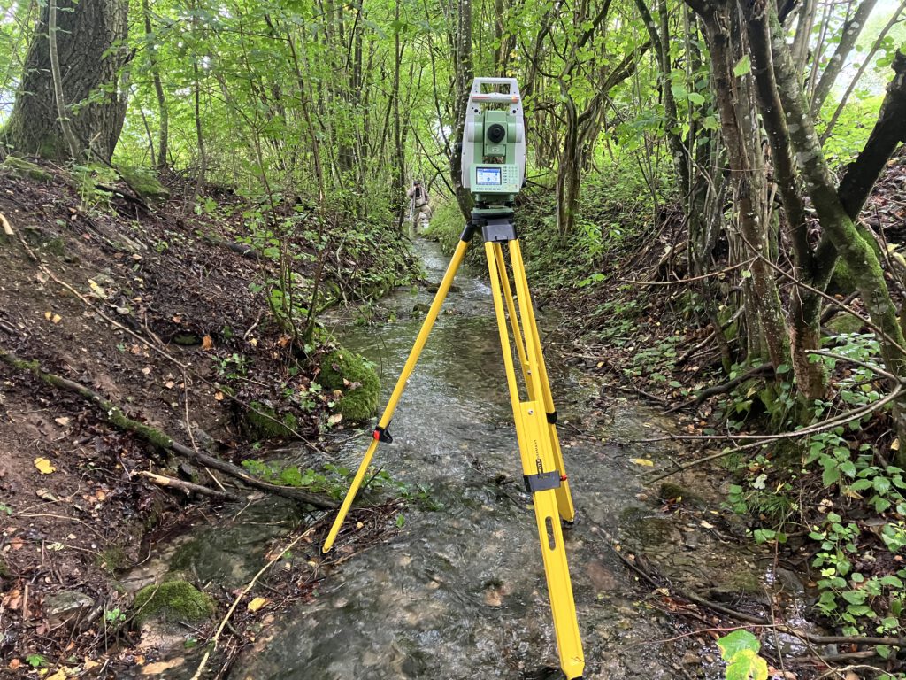
Survey of the Nister
Survey of the Nister River after Revitalization
Hands-On Training in surveying water bodies in Bhutan
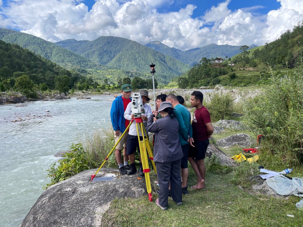
Hands-On Training on aquatic data collection in Bhutan. The training covered the use of tachymeters, GPS, UAS (Unmanned Aerial Systems), ADCP (Acoustic Doppler Current Profiler), and hand-held ADV (Acoustic Doppler Velocimeter)
Survey at the Mamasa River

Abflussmessungen, Drohnenbefliegungen und GPS-Vermessungen am Mamasa-River auf Sulawesi für eine Mindestwasseruntersuchung im Rahmen des Bakaru II Hydropower Projects.