Field study Shohimardon
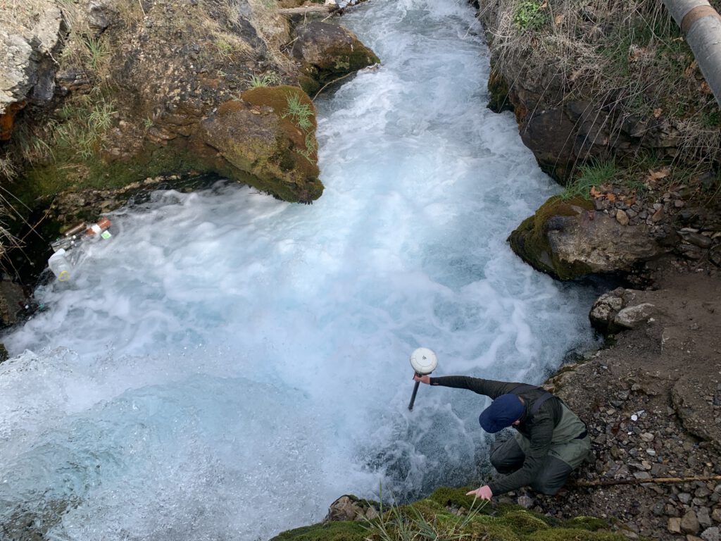
Feldstudie zur Untersuchung der Durchgängigkeit und Mindestwasserabgabe eines Kraftwerkneubaus in Shohimardon (Usbekistan) im Rahmen des EU-geförderten HYDRO4U-Projektes.
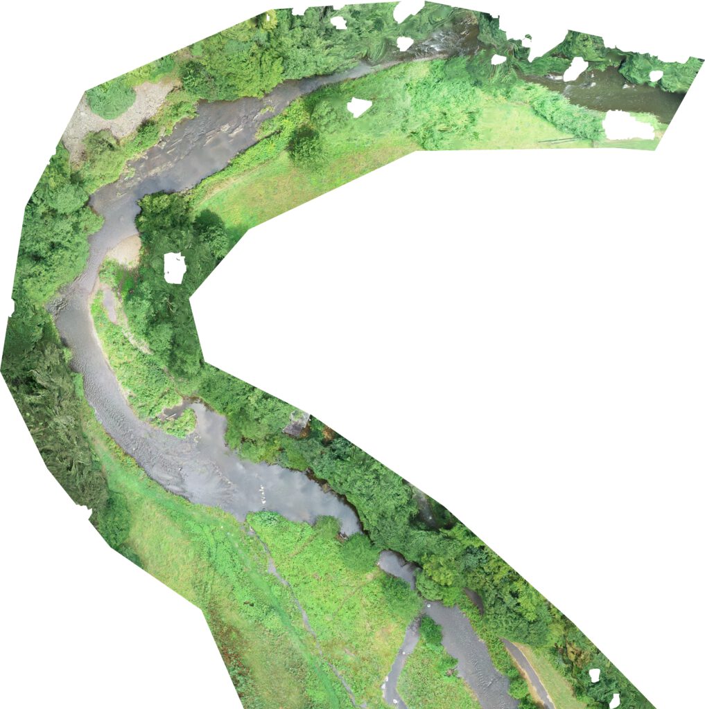
Sediment sampling and survey of gravel bars along the Danube

Sedimentprobenahme und Drohnenvermessung von sieben Kiesbänken der Donau bei Kelheim
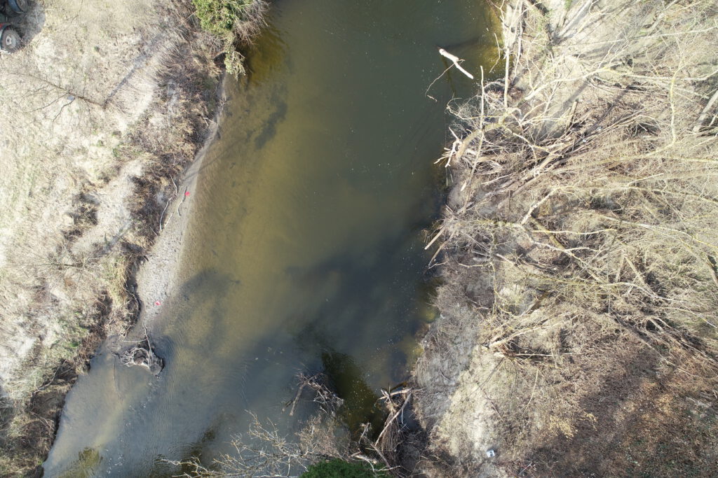
Survey of Dijle

Survey of the Dijle River for the detectability and passability of a fish passage facility
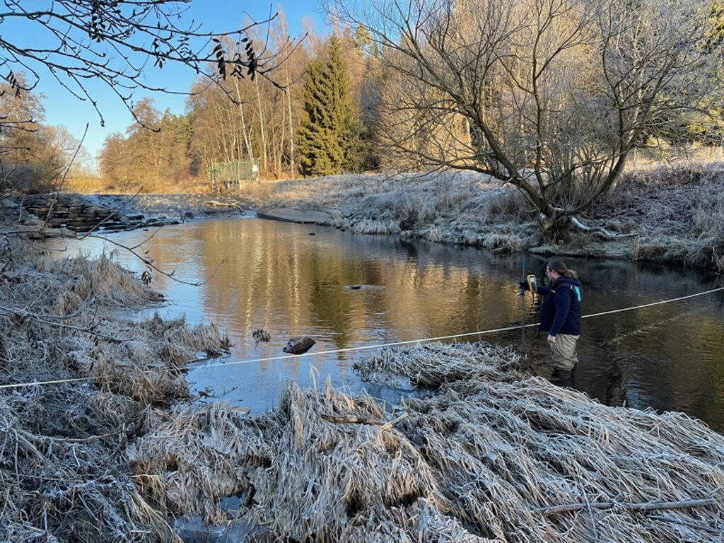
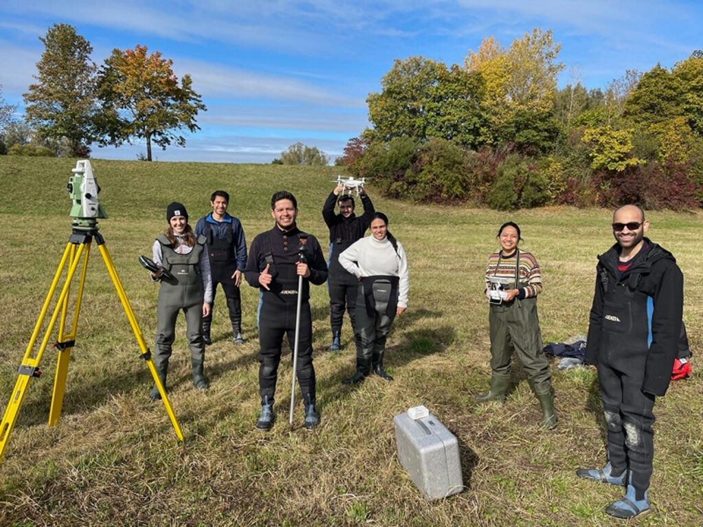
Survey of the Schussen
Surveying three sections of the Schussen River as part of a minimum flow investigation.
Bathymetric survey of the Heidesee
Bathymetric survey of Heidesee near Karlsruhe
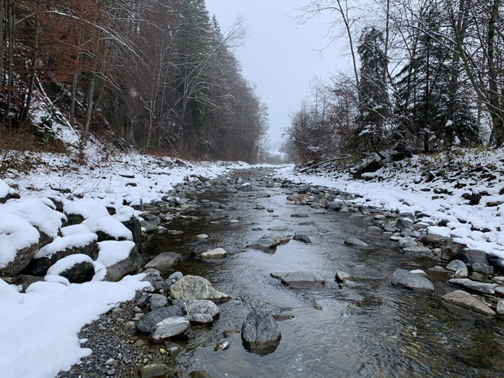
Survey of the Breg in Bräunlingen (Germany)
Survey of the Breg River in Bräunlingen as the basis for a report on minimum water conditions and passability in a diversion section on the Breg.
Survey of the Engelberger Aa
Survey of 4 kilometers of the Engelberger Aa as a data foundation for a habitat model for lake trout.
Lecture at the University of Stuttgart
Guest Lecture: “Drone-based Water Assessment: Introduction, Fundamentals, and Examples” in the field of Measurements, Monitoring, and Modeling (MMM).
Data collection at the Nister
Data collection from two sections on the Nister as a basis for hydraulic and habitat modeling.
Surveying the Neckar

Survey of 2 kilometers of the Neckar River for a minimum flow investigation