Training of local staff with hydrological equipment in Turkmenistan

Provision of training on the operation and maintenance of hydrological equipment for local staff of the National Hydrometeorological Service of Turkmenistan in a transboundary river basin. The objective is to strengthen technical capacities and improve the collection and analysis of hydrological data.
Drone survey of the shore of Lake Constance
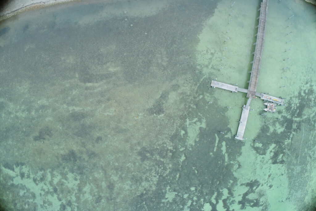
Drone survey and creation of georeferenced orthomosaics of the Lake Constance shoreline for studies on sediment deposition.
Aerial imagery for construction monitoring of the State Garden Show in Rottweil (Germany)
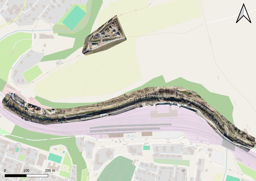
Drone flights and creation of georeferenced orthomosaics for construction monitoring of the State Garden Show in Rottweil.
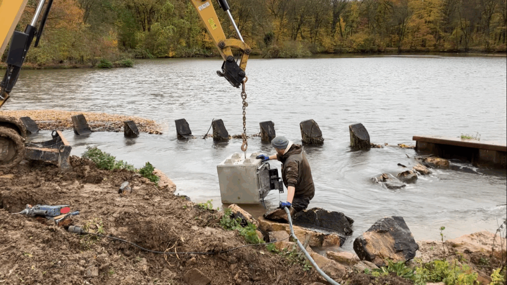
Installation of a I AM HYDROCam at a weir in Sossenheim (Germany)
Im Auftrag des Regierungspäsidiums Freiburg sammeln wir an ausgewählten Pegeln Abflussdaten zu Mittelwasser-, Niedrigwasser- und Hochwasserereignissen. Dazu verwenden wir je nach Bedingungen vor Ort den FlowTracker oder ein ADCP-Boot.
Training on Installation and Gauging Stations in Thailand and Cambodia
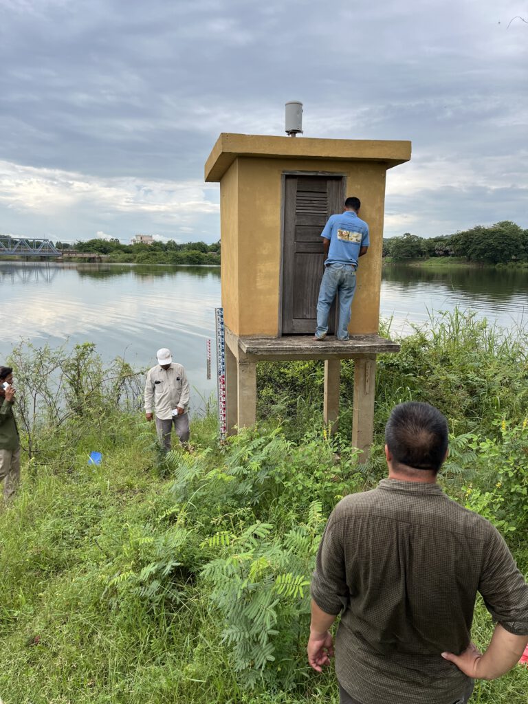
Training on Installation and Operation of Water Level Measurement Stations in Thailand and Cambodia within the 9C9T Sub-basin, to Establish an Early Warning System for Floods and Droughts in the Mekong Basin.
Flow measurements for the Regional Administrative Authority of Freiburg
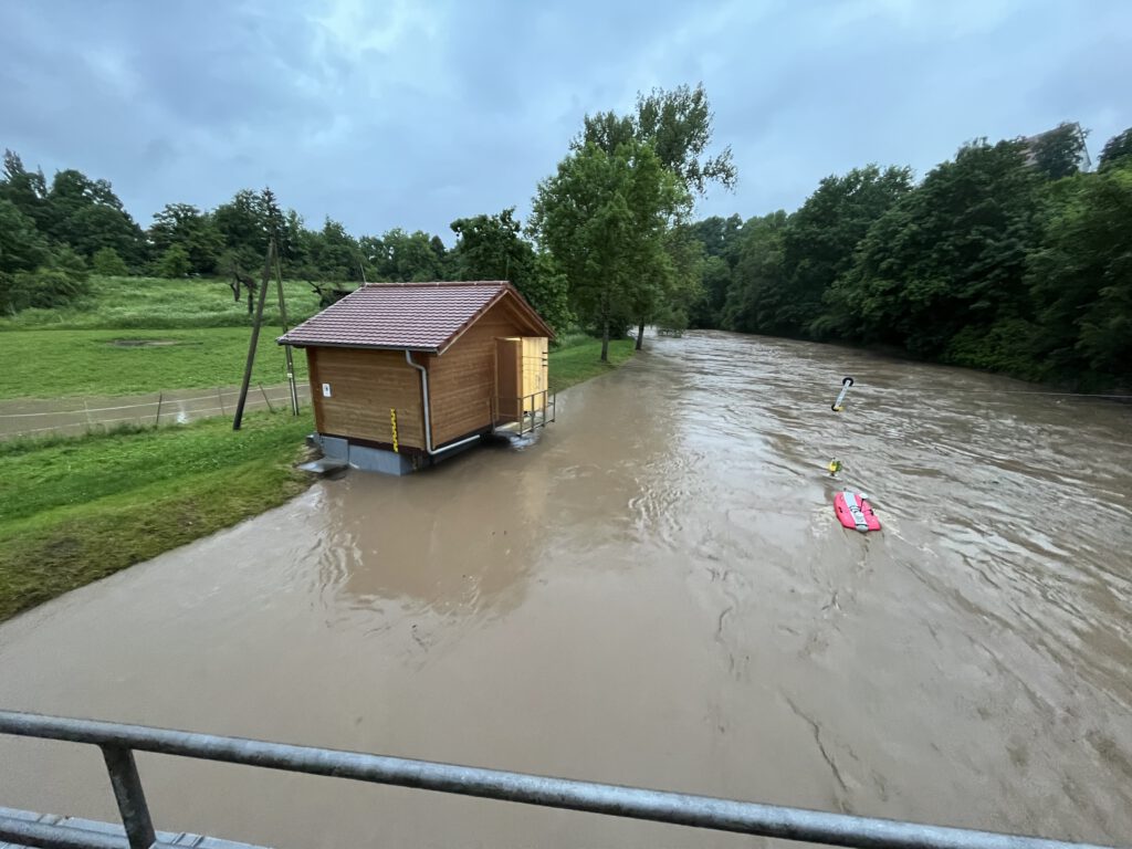
On behalf of the Regional Council of Freiburg, we collect flow data at selected gauges for average flow, low flow, and flood events. Depending on the local conditions, we use either the FlowTracker or an ADCP boat.